2022 Pashnit Touring on a Hayabusa

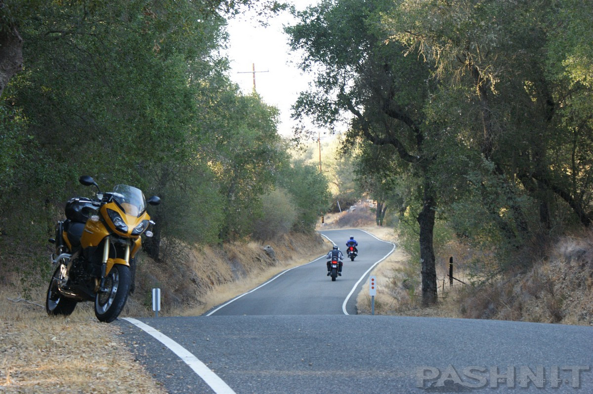
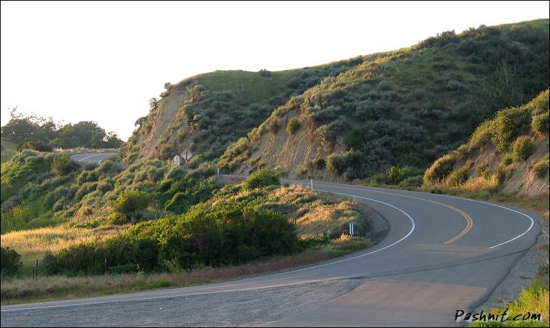
Highway 25 is one of our favorite roads in the state. It parallels the ocean through a long valley with ranges on either side.
Zero commercial development and no towns means minimal other traffic.

Tourist traffic is all along the ocean, and the commercial traffic is along Interstate 5 on the other side of the range(s). That means there is nobody on this road.

DSC02221-1.JPG


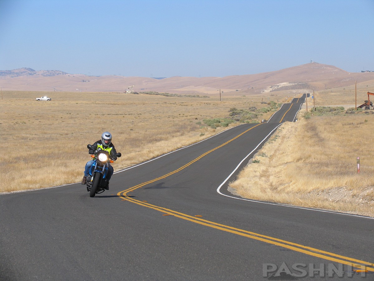
Highway 25 leaves Tres Pinos with some very loonnnngggg straights


DSC02222.JPG


DSC02223.JPG
 
Last edited:
The straights don't last through. For whatever reason, instead of carving this road right down the middle of the valley, Road planners cut it along the edge of the ridgeline, adhering to the contours of the land. That means many curves.

Newspaper clipping from 1934
hwy25-newspaper.jpg


154_5460.jpg
 
Last edited:
154_5451.jpg


The curves are so fun, no one ever stops to take in the moment. I let the group go on ahead, knowing they'd stop at the end of the road at the mid-point.

DSC02224.JPG
 
DSC02226.JPG


Anybody notice all those cars in the creekbed at Lone oak? Nobody noticed.

DSC02227.JPG


Presumably for erosion control, ranchers set and aligned all these old cars from the 1930s to the 1950s in the creek bed.

DSC02229.JPG
 
Peachtree Indian Valley Rd is another remote ranch road. Barely one lane wide in some parts, it's actually a deceptively fast road

DSC02235.JPG


Remote means no towns, no paved side roads, nothing out here

IMG_0028.jpg


DSC02236.JPG


DSC02239.JPG
 
At our next fuel stop, Mike was showing me how he carries extra fuel on his Tracer 900. Cool idea.

DSC02243.JPG


DSC02241.JPG

Each one of these MSR Fuel canisters is about a quart of fuel.

DSC02240.JPG
 
If you've never heard of Rossi's Driveway, pay attention. We call Highway 229 Rossi's Driveway because if Rossi had a driveway, this would be it. Why this short 5-mile stretch of single lane road has a 'highway' designation, we'll never know. But no one cares, everyone just wants to ride it, get to the end, turn around, and ride it again. Very fun road. Ever in the area of the tiny ranching town of Creston, you have to ride this.


152_5266.jpg


157_5706.jpg
 
The straights don't last through. For whatever reason, instead of carving this road right down the middle of the valley, Road planners cut it along the edge of the ridgeline, adhering to the contours of the land. That means many curves.

Newspaper clipping from 1934
View attachment 1662601

View attachment 1662602

I spent a lot of time on hiway 25 south of Hollister. This shot is somewhere on 25.

B5A2643D-5C82-47CA-AB8E-439F39EA5510.jpeg
 
Through the years, I’ve designed numerous different riding loops around Santa Barbara County, but we’ve come full circle and are riding the same loop we rode 20 years ago. I call this the Big Loop as it’s a 325-mile ride starting from San Luis Obispo, across the Temblor Range on Highway 58 and out to Taft, over Highway 33 - Pine Mountain Summit & down to Ojai, and back around to SLO. 325 miles is about the max we can ride with a group of 16 bikes and still have a relaxed day with plenty of breaks and time for a relaxed lunch. Plus, our days are getting shorter this late in the ride season.

The second day of our ride dawned with a smiling face. Dmitry and Ilana rode up on his GSA from Los Angeles to meet the tour group in San Luis Obispo, my new Ukrainian friend from Kharkiv who escaped the Ukrainian War a few months ago was elated to join us for another ride.

DSC02255-1.JPG


DSC02254.JPG


DSC02259.JPG
 
Highway 58 is one of our favorite roads. Long straights, fast curves and a super twisty section over the range

And there's whoops. Go fast enough, the front wheel comes off the ground

DSC02261.JPG


Some very long straights out here in the middle of nowhere. 20 years we've been riding this road, never gets old.

3-Hwy58-busa.jpg


114_1452.jpg


114_1460.jpg


114_1463.jpg
 
Last edited:
In the midst of the California Valley, there's an abandoned town, well sort of, the streets are all still there, but no town was ever built.

California-Valley-sign.jpg


The part the land developers left out is there's no water, no electricity, and the lack of water makes the ground alkaline. Nothing grows.

California-Valley-ad.jpg
 
In 1960, the original Spanish Land Grant was doled out to several rather optimistic land developers who believed the California Water Project would bring water to the area via an aqueduct. Streets were graded, named and 7000 2-1/2-acre plots were created and sold through nationwide advertising at $600 apiece for the aspiring community of California Valley. 7000 x $600 scaled up for inflation equals $3.6 billion in today’s dollars. Instead, the aqueduct, which currently runs the length of Central California, was built on the other side of the Temblor Range parallel to Interstate 5.

Despite the national ad campaign and the promise of land for a $20 down payment, no suburban paradise was ever built. The soil was too alkaline for crops, there's no water, and electricity ended at the community center that was built.

map-Highway58-topo.jpg

See the town in the map above?

And the lake in the distance is a salt lake. No water out here. But the streets laid out in 1960 are all still there.

Hwy58-17yzf_pilot_sbr.jpg
 
Back
Top